
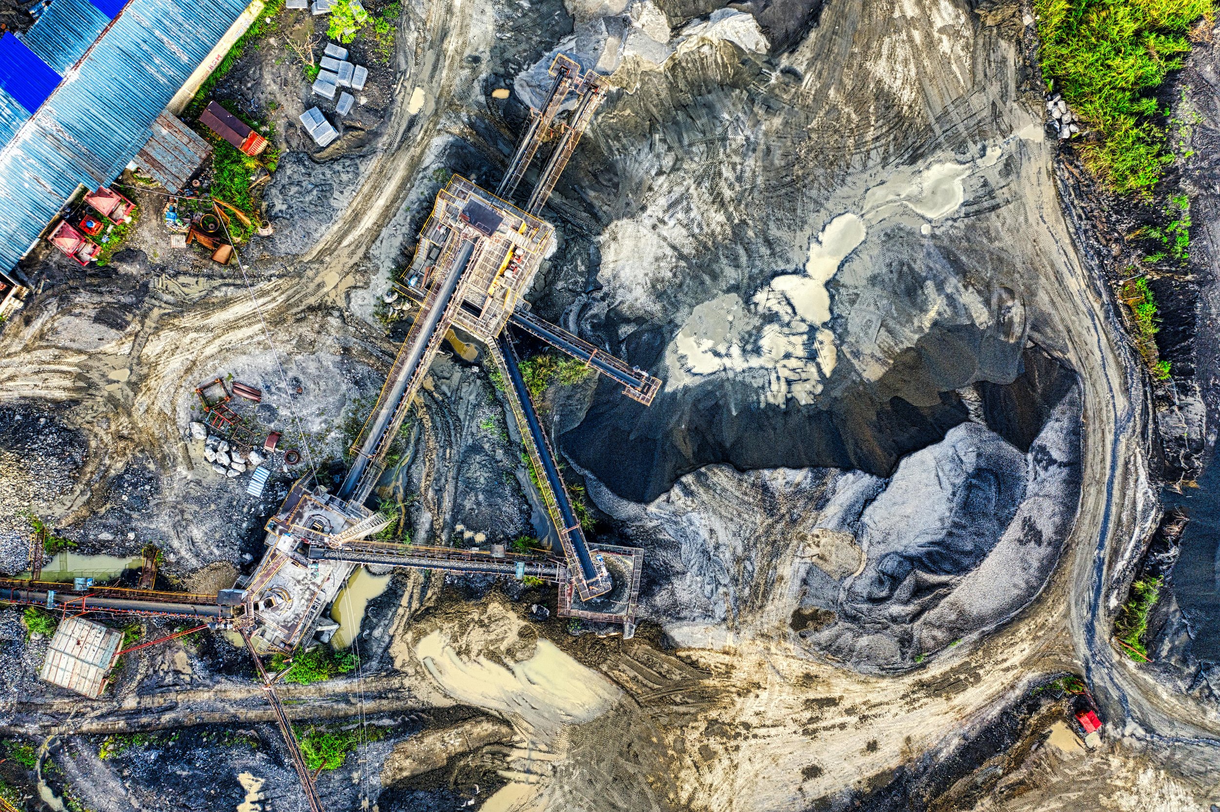
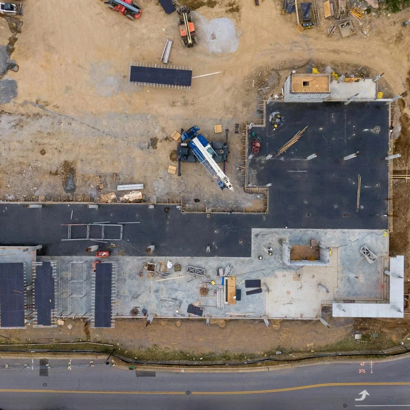
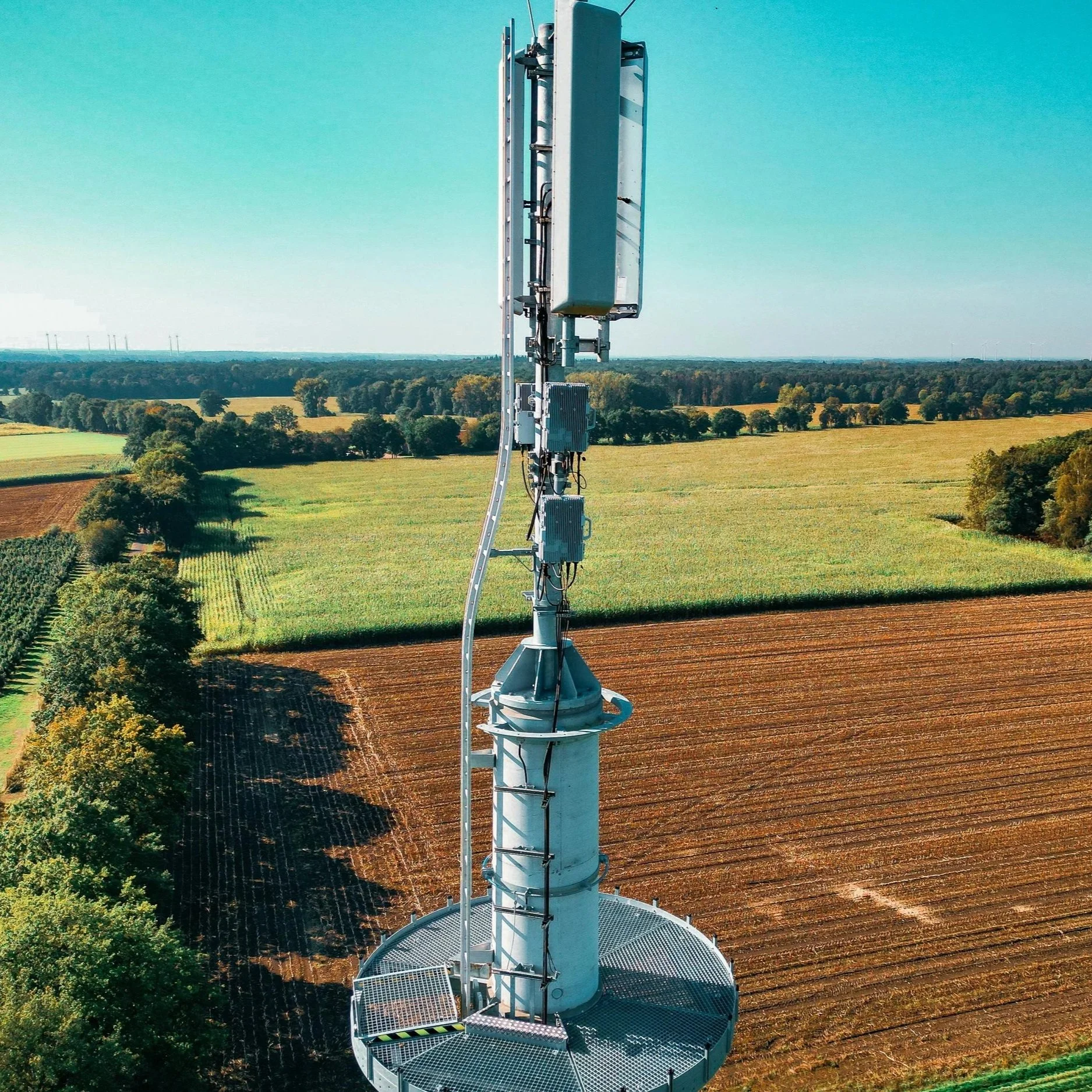
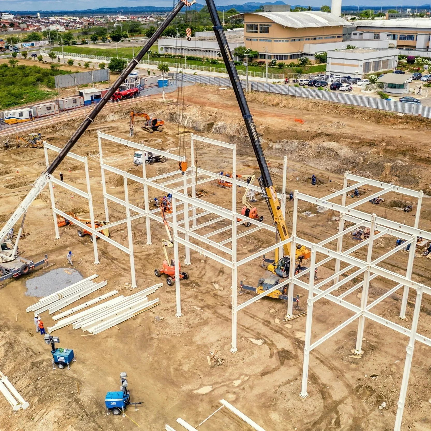
Drone-based aerial deliverables for better decisions, communications, and marketing
Serving central Colorado
Our Services
Every project is customized to meet your specific needs and timelines.

About us
Before starting this company, I spent years working at the intersection of aviation, geospatial data, and public service. As a professional pilot and certified flight instructor, safety, preparation, and precision aren’t just priorities — they’re habits formed through thousands of flight hours, structured procedures, and real-world decision making. Every flight demands attention to detail, situational awareness, and respect for the environment you’re operating in. That mindset carries directly into how I approach drone operations today.
Alongside aviation, I have a strong background in GIS and digital mapping, developed while working as a Geographic Information Specialist with the U.S. Bureau of Reclamation, as well as several private consulting companies. For over 10 years, I supported scientists and engineers by creating reliable maps, models, databases, and geospatial workflows used for real planning and analysis — not just visuals. That experience shaped how I approach drone deliverables: as a customized digital product, not simply imagery.
What sets my business apart is how I work with clients. I believe great results start with careful listening and a relentless pursuit of precision. Every project begins with a clear conversation about goals, timelines, and how the final deliverables will actually be used. From there, I tailor each flight, workflow, and output to fit your needs.
I’m committed to safe, respectful site work, timely delivery, and clear communication from start to finish. If something can be done better, I do it. If a client needs something adjusted, clarified, or expanded, I take care of it. My promise is simple: your needs will be met — and often exceeded.
I’m proud to provide dependable aerial data solutions backed by real experience, thoughtful planning, and a genuine commitment to quality.
We have the right tools and skills for each project, whether that involves sharp photos and video, thermal imaging, or high-accuracy mapping. Every flight is performed by a licensed, insured drone pilot and carefully planned with safety in mind. Our work is backed by rigorous pre-flight checks, clear communication with site managers, and full compliance with FAA and job-site requirements. All data is processed by an experienced geospatial professional with over 10 years in mapping and GIS and a strong background in aviation, ensuring reliable, consistent results you can count on. Let us help you improve your business with clear insights from our services.
Why MapWorx?
Our Process

-
Our primary mission is to help you achieve your goals and get the maximum value from our services. We take time to collect thorough information about your specific needs for each project and develop a personal relationship with you and your team.
The process starts by completing our Quote form, where we collect basic information about you and your needs. We will follow this up with a phone call, meeting, or a proposal, based on your preferences.
-
Each project requires a customized solution that includes detailed flight planning, compliance with company or regulatory rules, scheduling, and detailed plan for processing, analysis, and delivery.
This usually involves a virtual or in-person meeting where we cover all the details. For repeated projects, we can also work out a system in which we don’t need to meet each time.
-
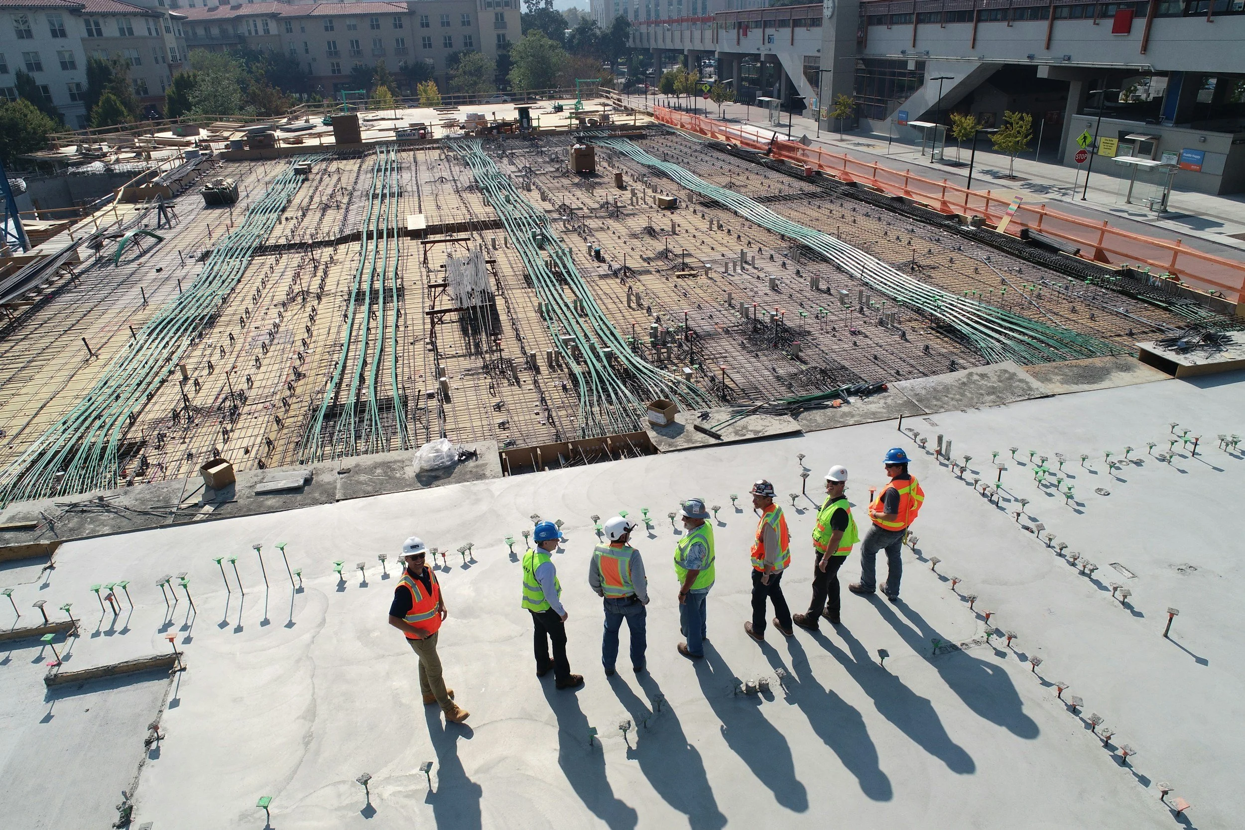
When all the i’s are dotted and T’s crossed, we schedule Acquisition day! One or more of our licensed pilots will visit your site with the specialized equipment and perform the work on-site.
We run checklists and conduct walk-throughs prior to each flight. You are welcome to join us for this part, or we can do our thing independently- it’s up to you.
Back in the office, we will process and interpret all your media and data following strict protocols for quality, security, and redundancy. When we are confident that we have achieved the standards you set for each project, we will package it up for delivery per your specifications along with a final report of the work.
-
This is the exciting part! You will open and review your data or media. Our goal is to give you exactly what you wanted the first time you receive it. However, we will be standing by to make revisions, additions, or whatever is necessary to make sure you are satisfied with the results.
Let us take your business to new heights
Want to know how we can help your business? Fill out some info and we will be in touch shortly with detailed information. Our goal is to reply to you within 24 hours (usually much sooner).
Contact us
Have questions? Great! We love talking about what we do. You can also call or text us at (303) 416-6445 or email us at info@mapworxaerial.com.