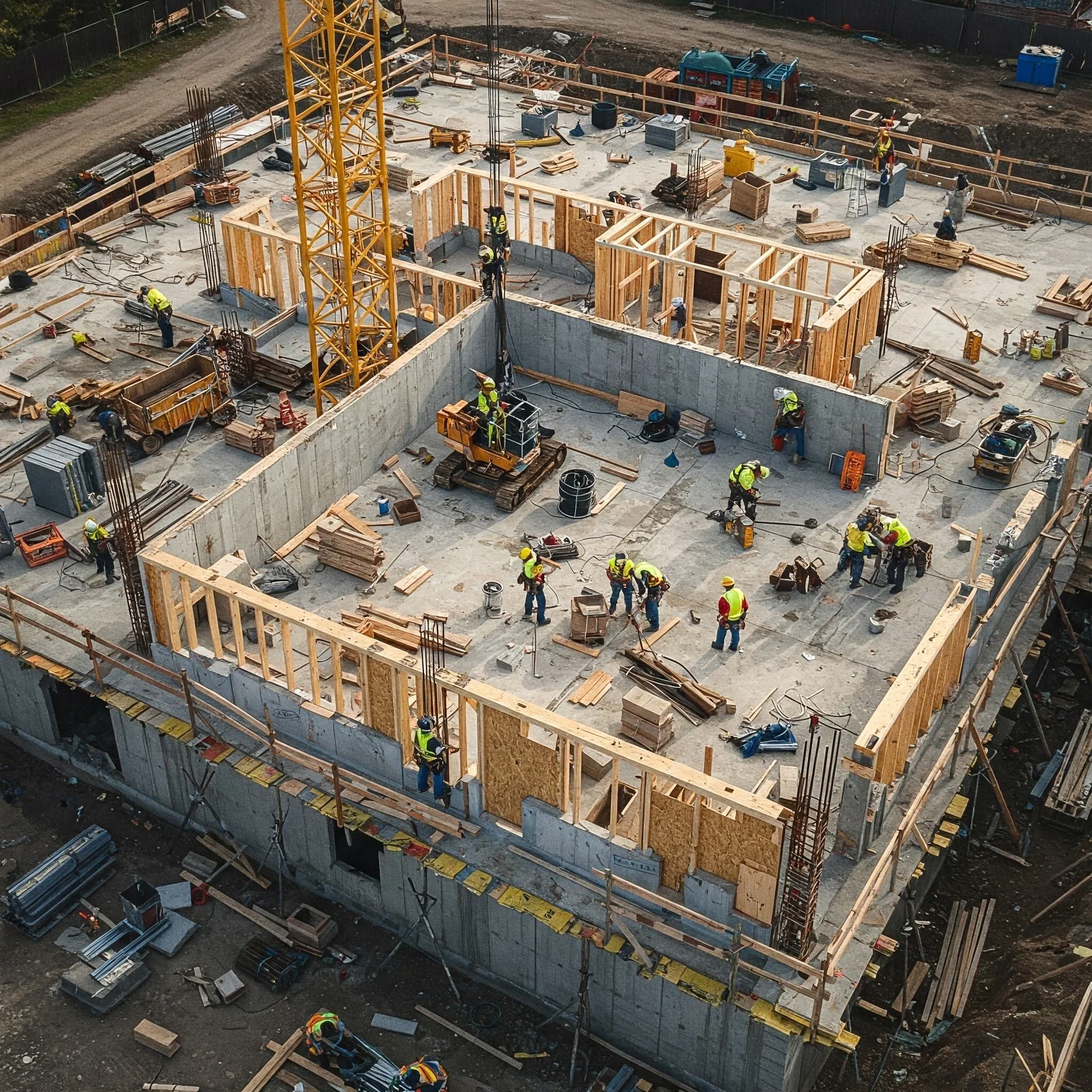
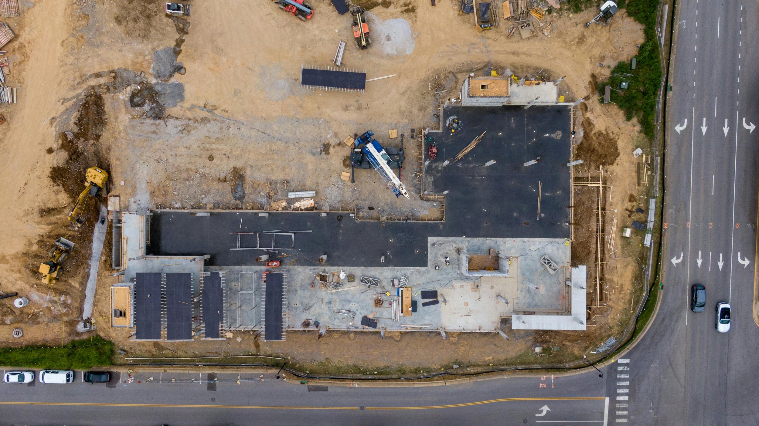
Construction Progress Monitoring
A consistent visual record that keeps projects accountable and on track.
Recurring drone flights captured weekly, biweekly, or monthly to document construction activity over time. These flights create a consistent visual record of progress from groundbreaking to completion.
Scheduled Progress Flights
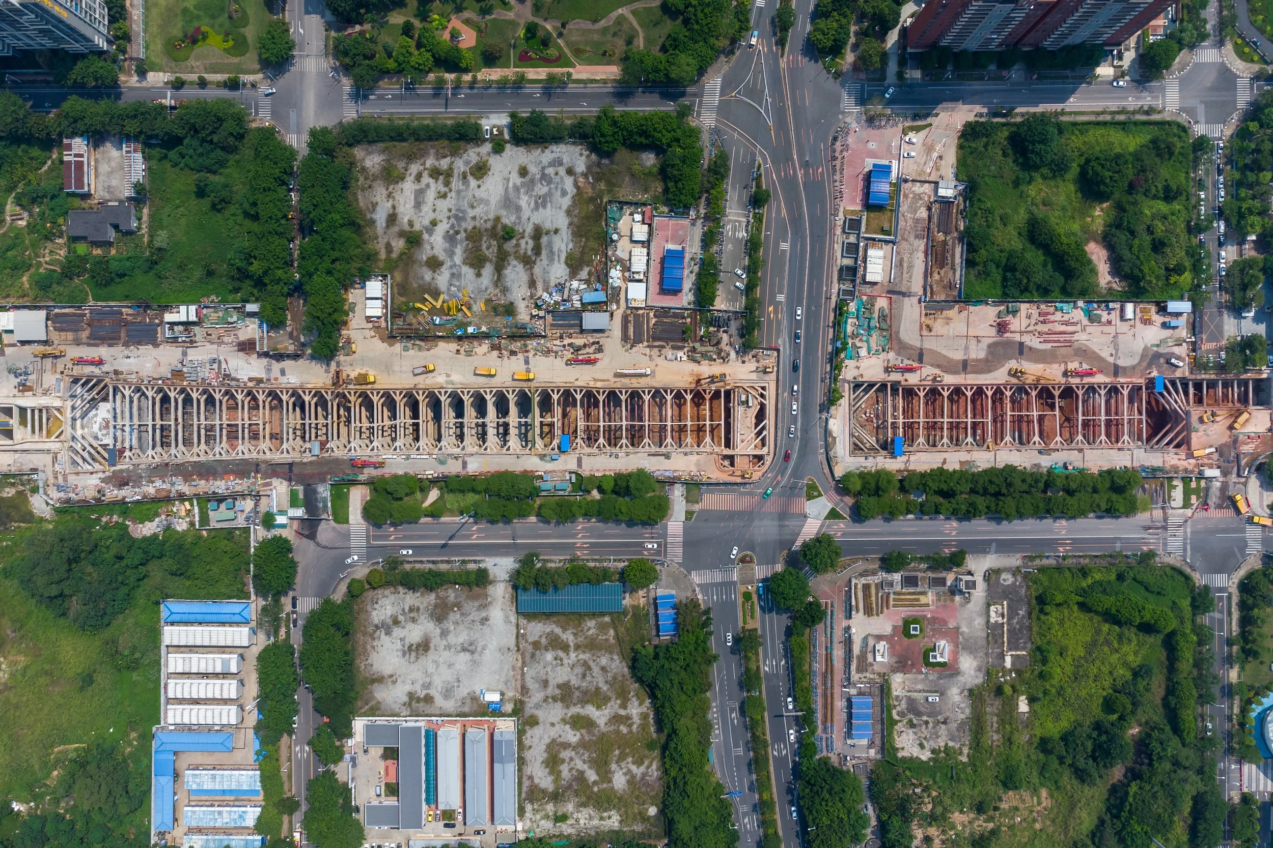
Site Overview Imagery
Instant clarity on site layout, access, and conditions.
High-resolution aerial images that show the full job site and surrounding context. Site overviews help teams quickly understand layout, access points, staging areas, and overall site conditions.
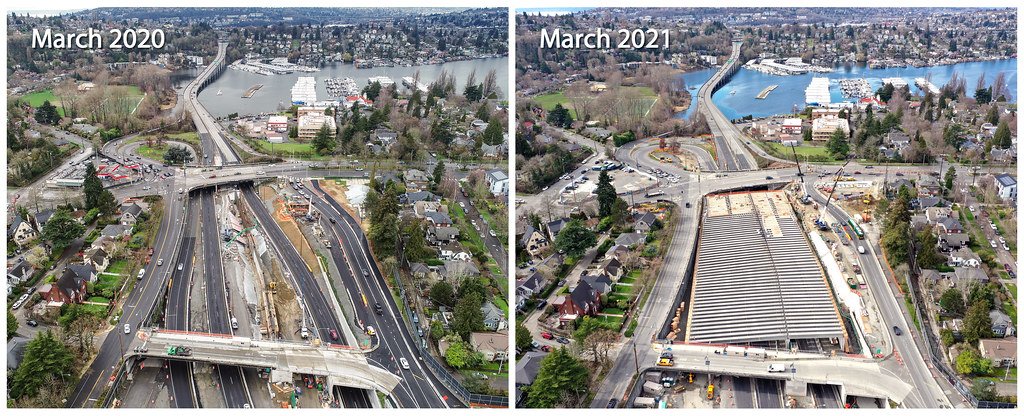
Progress Comparison Views
See exactly what changed—and when.
Side-by-side or overlay comparisons showing how the site has changed between dates. These visuals make it easy to track milestones, verify work completed, and communicate progress to stakeholders.
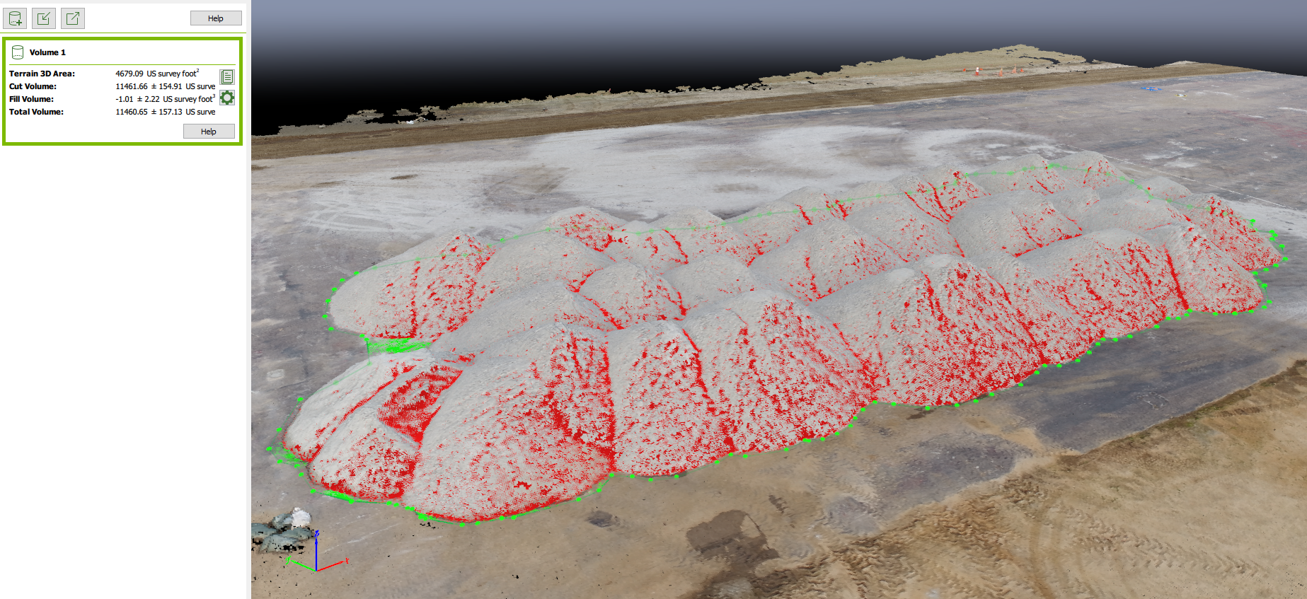
Quantity & Volume Tracking
Measure material movement without slowing the job down.
Drone data used to measure stockpiles, earthwork, and material movement over time. These measurements support planning, billing validation, and production tracking without disrupting site operations.
Stakeholder Update Media
Protect the project with a clear record.
Clean, professional imagery and short videos designed for owners, investors, and remote team members. These updates reduce site visits while keeping everyone informed and aligned.
When an urgent situation arises, get answers in hours, instead of days.
Fast-turnaround, map-accurate orthomosaics and 3D point clouds delivered shortly after flight. These products provide up-to-date site measurements and spatial context, supporting quick decisions, coordination meetings, and schedule-critical workflows.
Rapid Mapping & 3D Models