
We focus on delivering maximum value—clear data, efficient workflows, and pricing that matches your project needs.
Pricing
These ranges are designed to give clients a realistic starting point based on typical project sizes, deliverables, and common job scopes.
What these estimates assume:
Typical local job sizes for each service category
Standard deliverables for the package level shown
Normal site conditions and straightforward scheduling
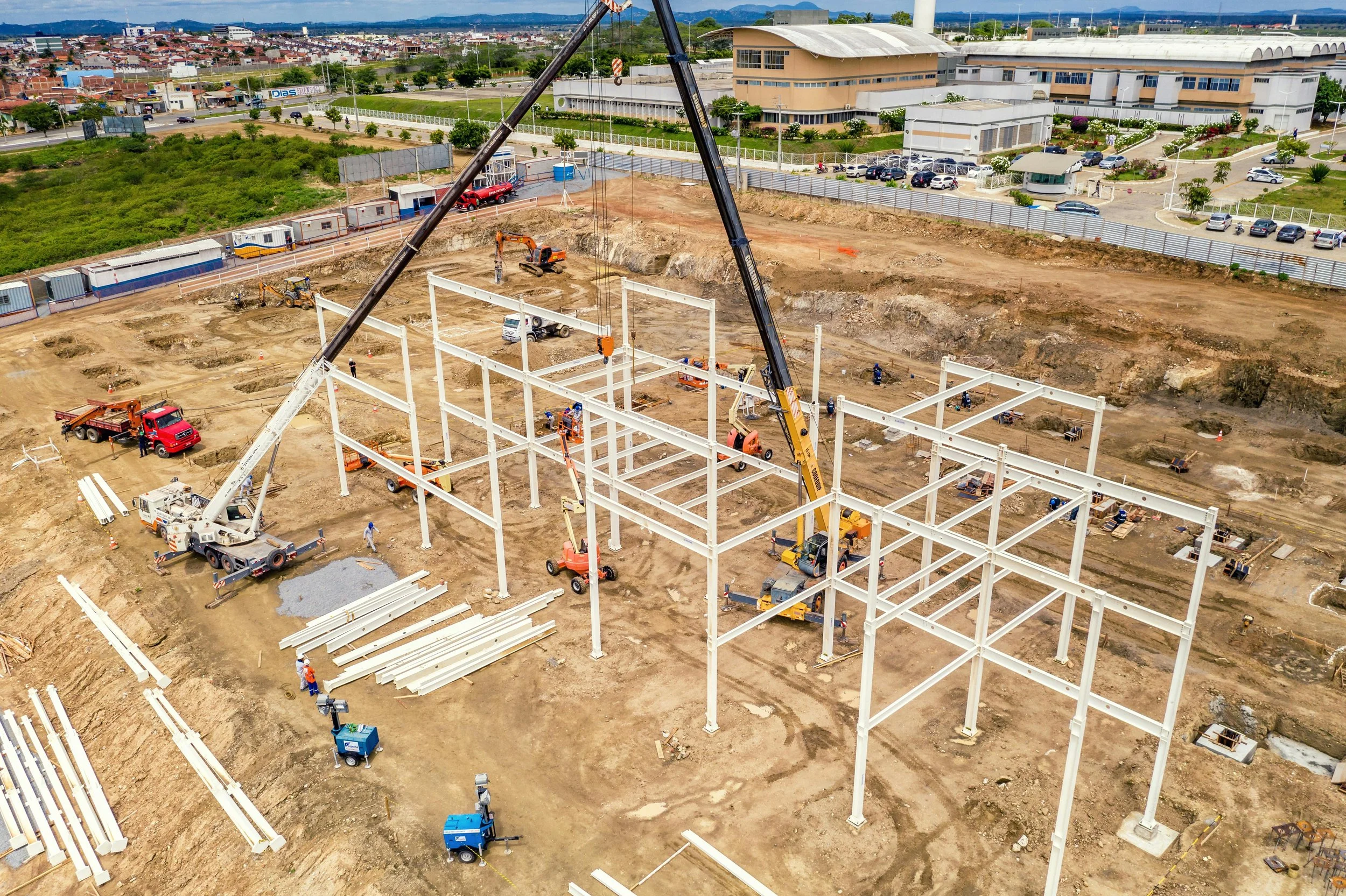
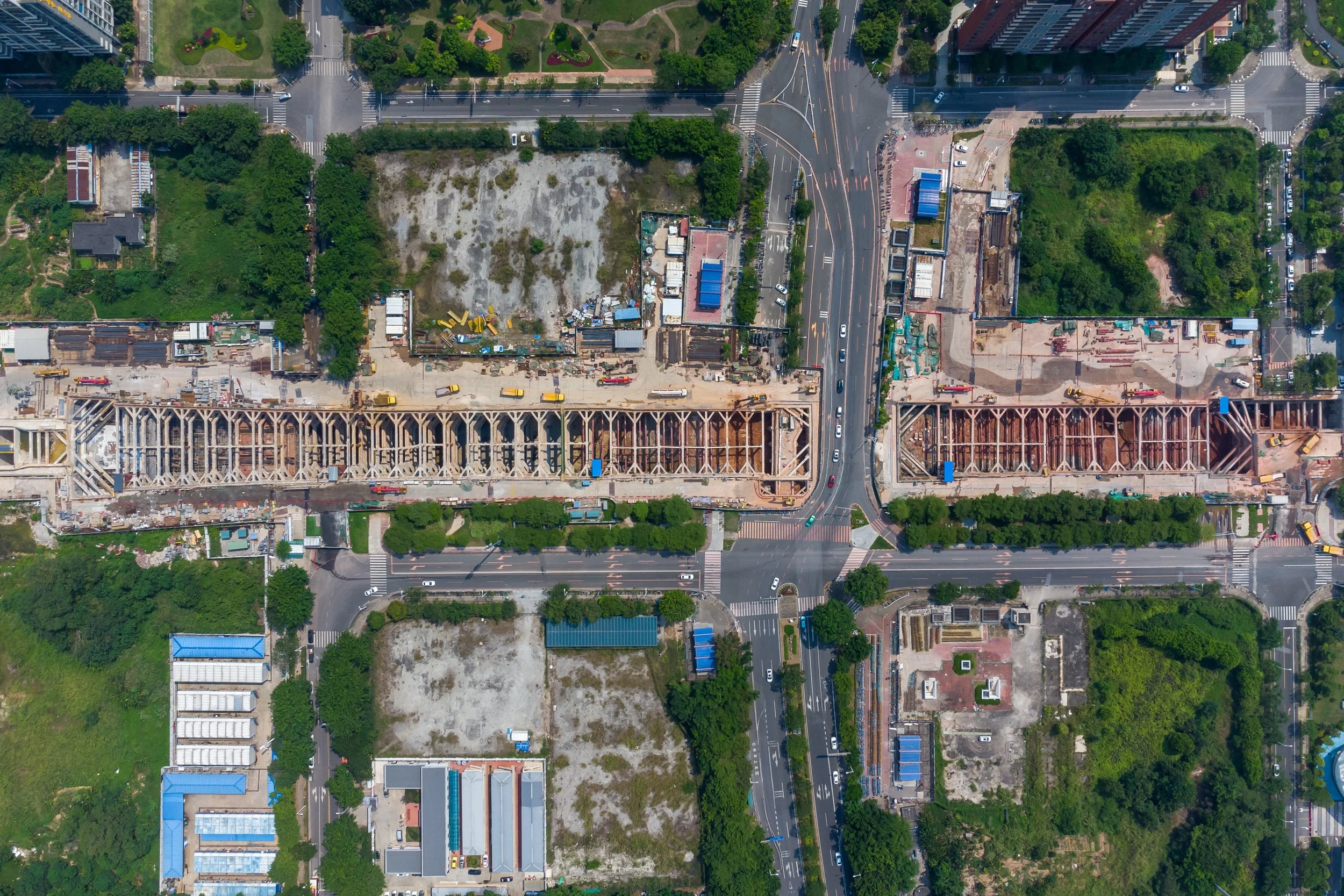
Survey / Engineering Mapping
Small Site Map
$750–$1,200
Average job size: Up to ~5 acres
Best for:
Small developments, drainage review, planning exhibits, pre-design documentation
Typical deliverables:
Orthomosaic
Digital Surface Model (DSM)
Shareable viewer
Standard Engineering Map
$1,200–$1,900
Average job size: ~5–20 acres
Best for:
Civil design support, site planning, grading review, existing conditions
Typical deliverables:
Orthomosaic
Digital Surface Model (DSM)/Digital Terrain Model (DTM)
3D Point Cloud and Textured Mesh
Contours (if desired)
Downloadable deliverables
Large / High-Accuracy Mapping
$1,900–$3,500+
Average job size: 20+ acres or higher-control requirements
Best for:
Engineers, survey support teams, design firms, larger utility or corridor sites
Typical deliverables:
High-resolution map
3D Point Cloud and Textured Mesh
Digital Surface Model (DSM)/Digital Terrain Model (DTM)
Contours (if desired)
High-Accuracy-oriented workflow*
* All of our aerial data is GPS-augmented using network-based Real-Time Kinematics (RTK), when it is available, to provide a baseline of accuracy . When deliverables require the highest accuracy possible, ground-based GNSS is used to further enhance accuracy. We will make this determination with you prior to starting work.
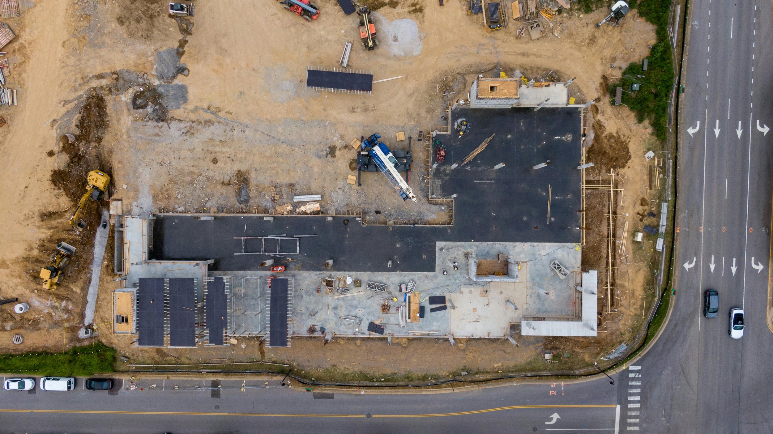
Construction Monitoring
Single Progress Visit
$450–$700
Average job size: Small to mid-size active jobsite
Best for:
One-time updates, owner reports, milestone documentation
Typical deliverables:
Orthomosaic
Site overview imagery
3D Point Cloud and Textured Mesh (if desired)
Shareable map viewer
Recurring Monitoring
$1,400–$2,400 / month
Average job size: Weekly or bi-weekly coverage
Best for:
General contractors, developers, owners, lenders
Typical deliverables:
Recurring flights
Orthomosaic
Site overview imagery from consistent positions
3D Point Cloud and Textured Mesh (if desired)
Progress comparisons
Hosted project visuals
Earthwork / Volume Tracking
$900–$1,800
Average job size: Stockpiles, grading areas, active earthmoving zones
Best for:
Civil contractors, grading crews, aggregates, site development
Typical deliverables:
Surface model
Volume calculations*
Summary deliverables
*We will use photogrammetric software to calculate the volume using industry best-practices. This workflow also includes using high-accuracy techniques, such as GPS augmentation using ground-based GNSS receivers.
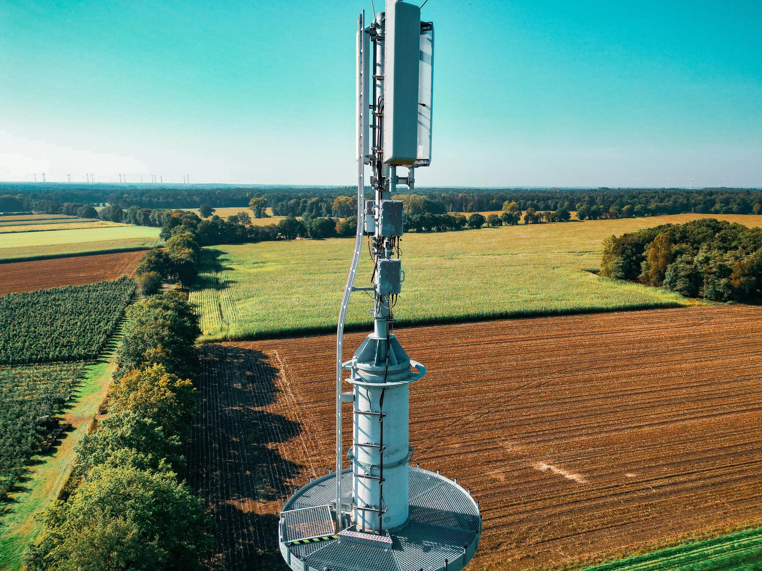
Inspections
Basic Visual Inspection
$250–$400
Average job size: Single structure or simple target area
Best for:
Roof checks, façade review, tower or equipment visual documentation
Typical deliverables:
High-resolution imagery (visible light and/or thermal)
Overview shots
Key issue photo set
Detailed Inspection Report
$500–$900
Average job size: Single building or moderate-complexity asset
Best for:
Insurance support, facilities teams, maintenance planning, condition reporting
Typical deliverables:
Detailed image set (visible light and/or thermal)
Annotated findings
Professional PDF report
Complex Multi-Area Inspection
$900–$1,500+
Average job size: Large building, multiple roof areas, or multiple assets
Best for:
Commercial properties, industrial facilities, large-scale documentation
Typical deliverables:
Comprehensive imagery (visible light and/or thermal)
Organized findings
Expanded reporting
Ready for a Custom Quote?
We would be happy to send you over a customized quote for your project. Please fill out our quote form and we will contact you soon for more details.